Valdivia
Thursday November 8, 2007
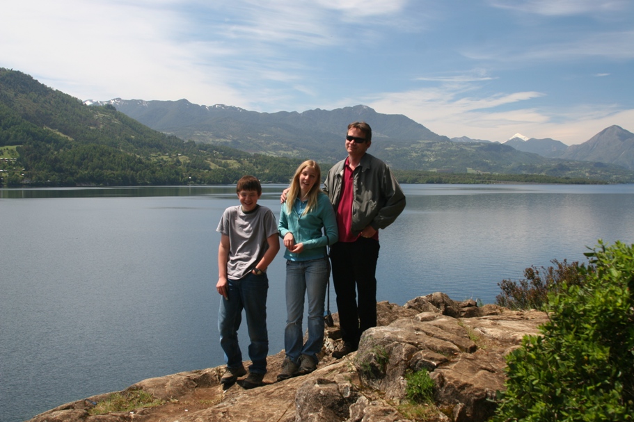
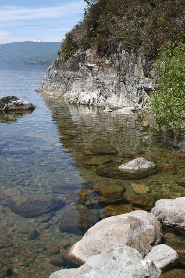
We left Pucón two days ago to drive to Valdivia. We visited some lakes along the way. The first was Lago Calafquen.
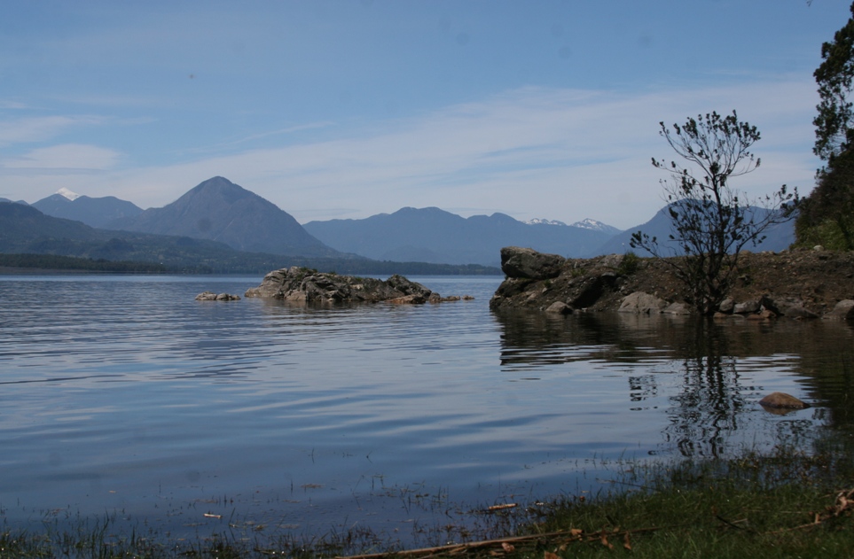
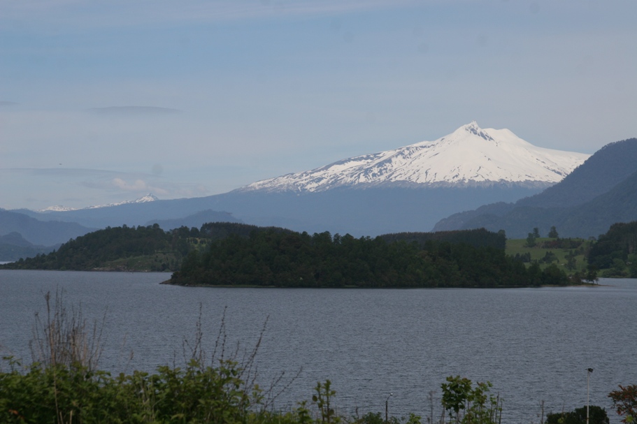
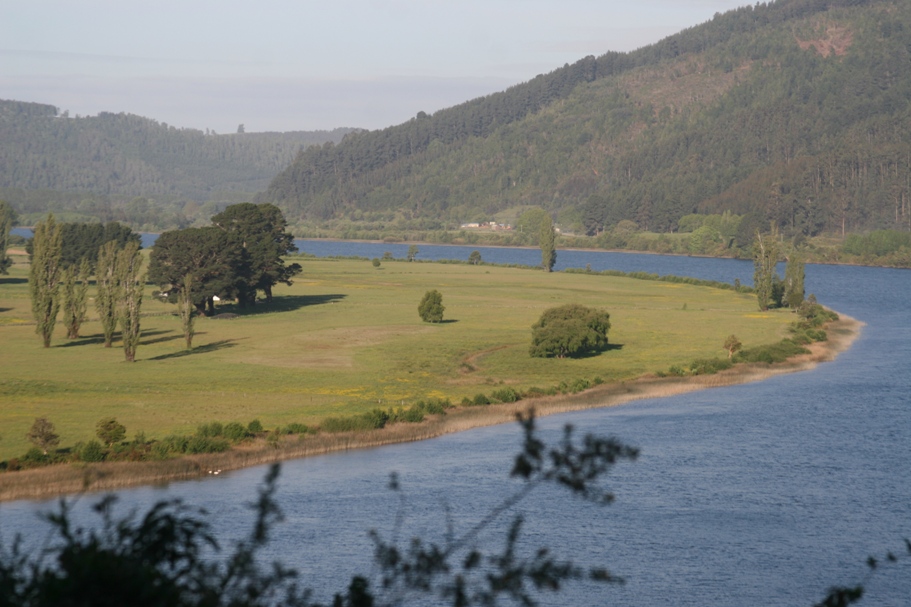
The second was Lago Panguipulli - shown here with Volcan Coshuenco in the distance.
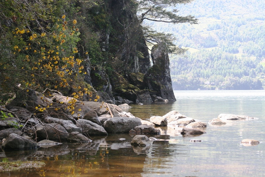
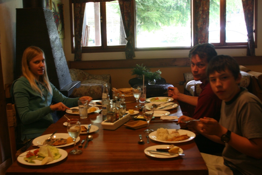
The third was Lago Rinihue, where we ate lunch.
Then we followed the Rio Calle Calle westward towards Valdivia and the Pacific Ocean.
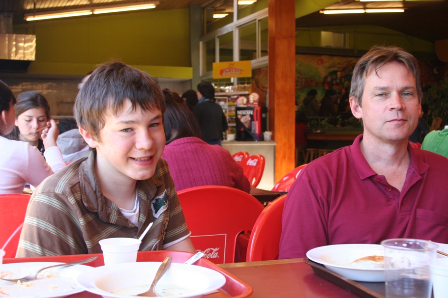
Our hotel is located on the edge of the campus of the Universidad Austral de Valdivia so, yesterday, we ate lunch at a cafeteria on the campus...
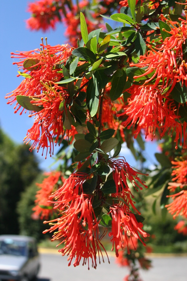
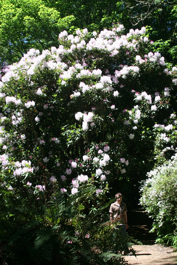
and then visited the Botanical Gardens on campus. Before visiting the gardens, we tried to find the "Center for Milk Products Development," because our 2007 Chilean guidebook, the one that is usually pretty reliable, told us that they gave tours and samples of milk products (we were hoping for ice cream). But it just didn't seem to be where it should have been according to the campus map. One campus worker escorted us into the laboratories for agricultural products development, where a confused looking, white-coated lab worker informed us that this was definitely not a tourist facility. Finally a security guard who had worked at the campus long enough told us that the Milk Lab "died four years ago," and had been indeed located atop the big empty concrete slab where the campus map had originally pointed us. So we just went to the gardens.
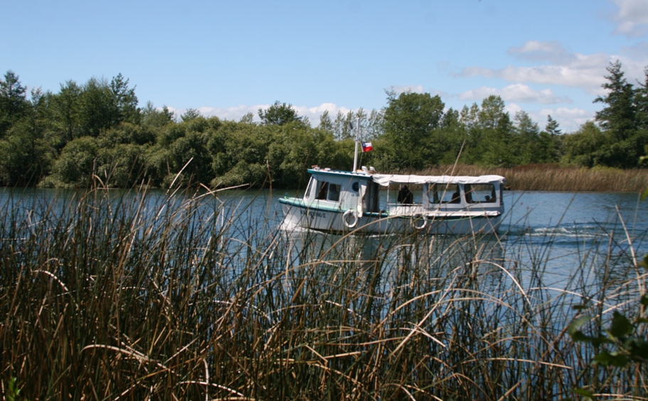
Today we took a boat tour from Valdivia westward on the Rio Valdivia (the Rio Calle Calle changed names to Rio Valdivia when it reached the city) all the way to the Pacific ocean. The tour stopped to visit two old Spanish forts near the mouth of the river, and also taught us some things about the calamitous earthquake of 1960 and its aftereffects.
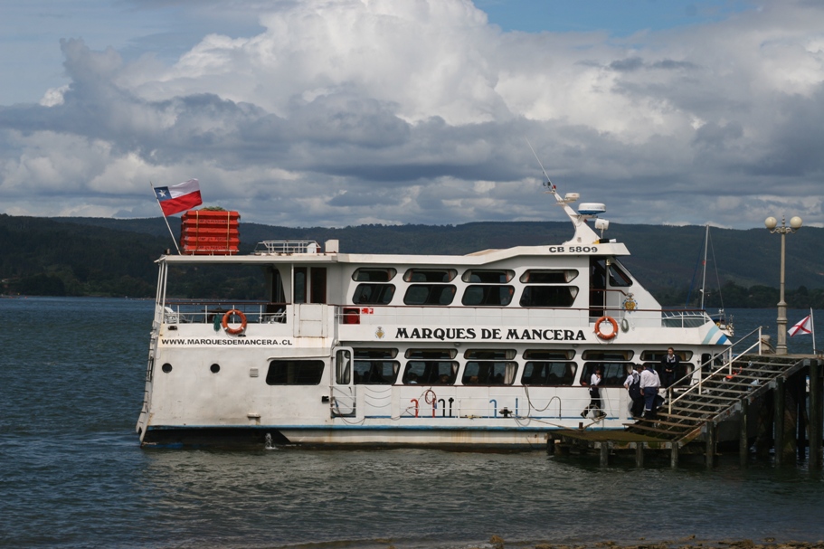
Our boat for the boat tour.
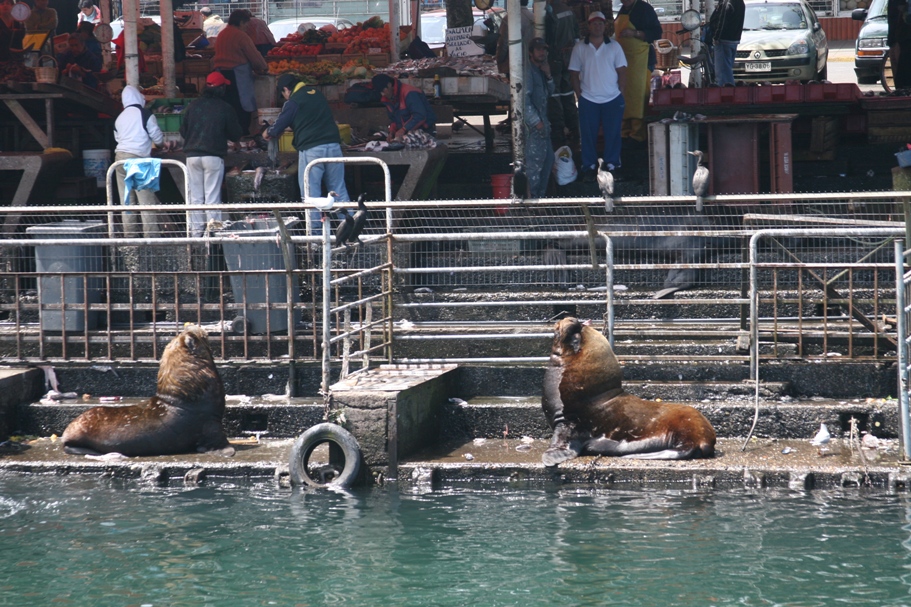
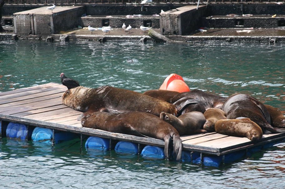
Sea lions and pelicans feed off scraps at the fish market of Valdivia - "Mercado Fluvial."
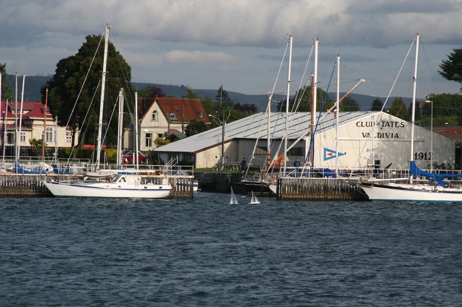
Yacht club of Valdivia.
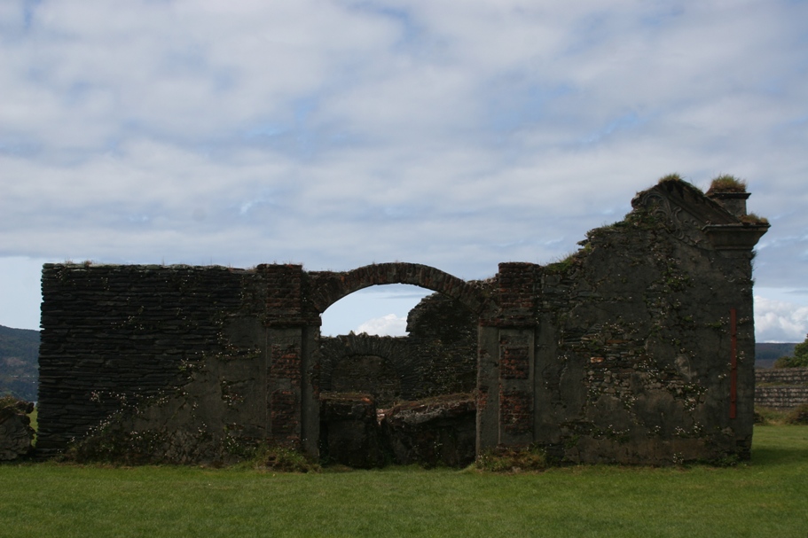
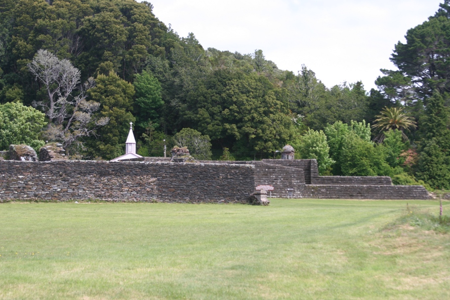
Old fort on the island "Isla de Mancera."
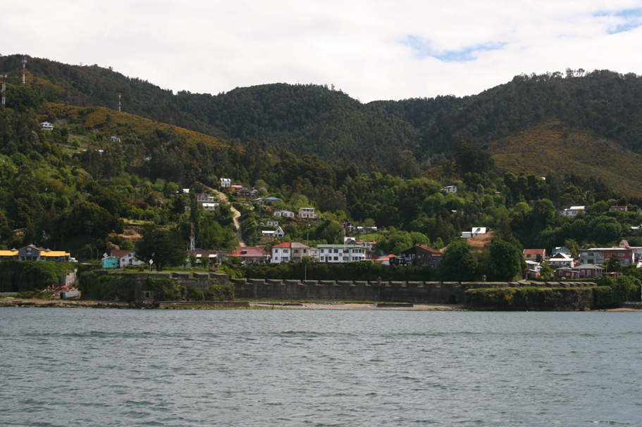
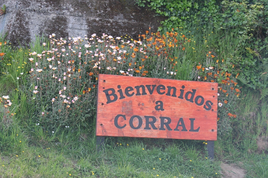
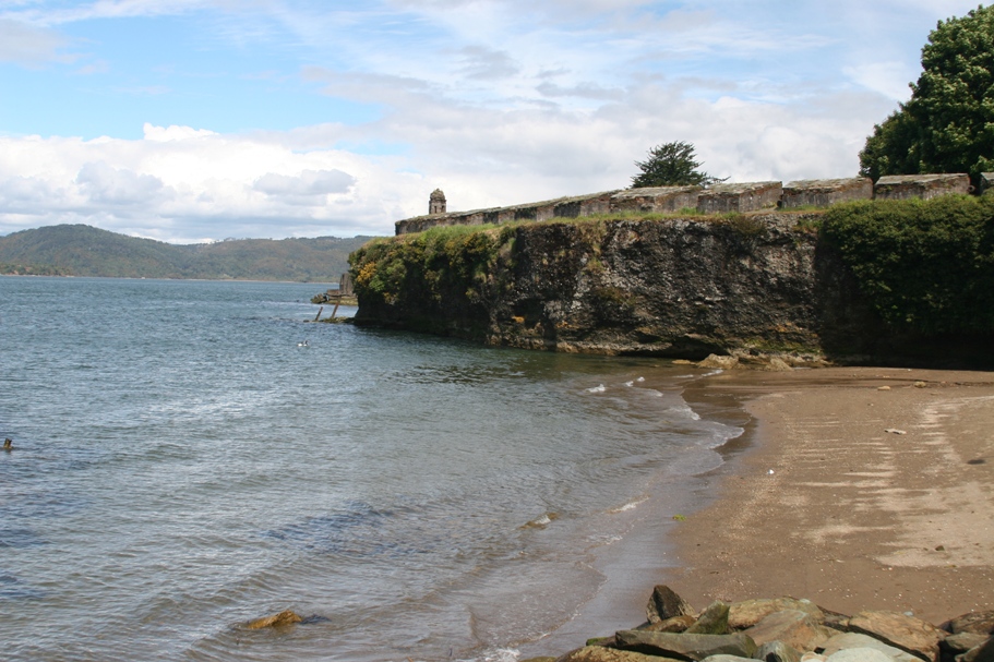
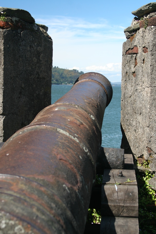
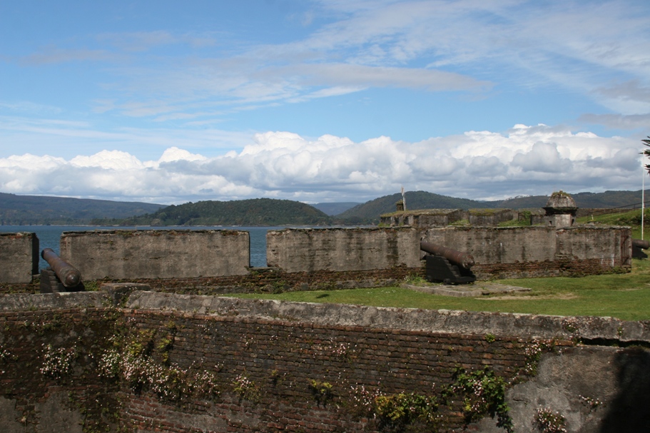
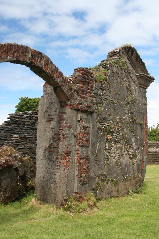
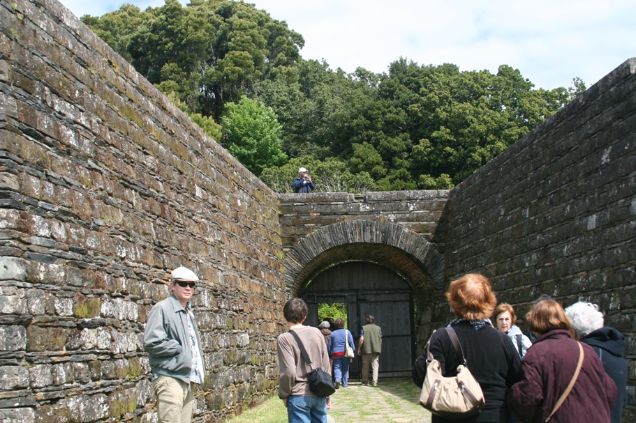
This Old fortress at the port city of Corral, is located at the mouth of Rio Valdivia. There was a famous battle here, when Bernardo O'Higgens, with the help of the British naval officer Lord Cochrane, expelled the resident Spanish soldiers from the fort. It was one of the most significant victories in the military fight for Chilean independence.
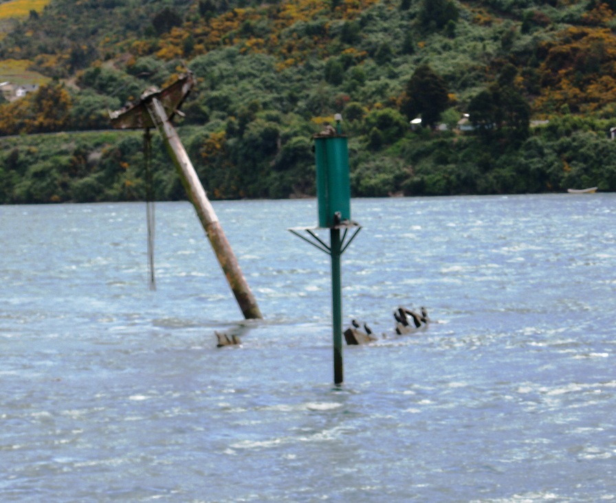
This is the swamped remains of a German ship that was deposited a couple kilometers upriver by the first of multiple tsunamis which occurred after the great earthquake of 1960. Here are some details (facts?) about this earthquake told to us by our boat tour guide.
The first main earthquake measured 9.6 on the Richter scale and lasted for multiple long minutes. Our guide said 10 minutes but the only duration comment we can find on the internet says "several minutes" for the length of this quake. As a comparison, the Loma Prieta earthquake that killed 62 people in the San Francisco Bay area in 1987, the strongest earthquake ever felt by our family (or the 3 of us who had been born by then), measured 6.9 and lasted about 15 seconds.
There were 30 significant aftershocks after the Chilean quake of 1960. Shortly after the first quake, the water of the harbor at the mouth of the Rio Valdivia receded precipitously as water was being gathered for the first tsunami. The residents of the port town of Corral who had survived the first astounding shake proceeded to walk out onto the exposed harbor bottom to collect shell-fish. Apparently they were not too shook up or occupied with helping their stricken neighbors to neglect an opportunity for free food. But then the first tsunami came, well over 30 feet high. Subsequent tsunamis traveled the extent of the entire pacific ocean and killed residents of Pacific islands as well as in Asia.
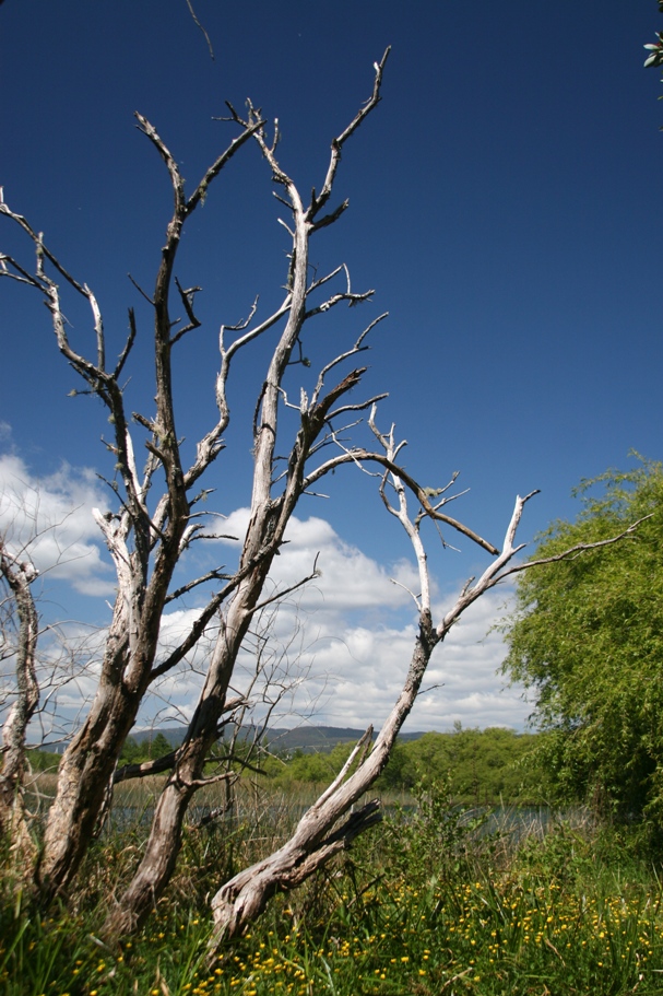
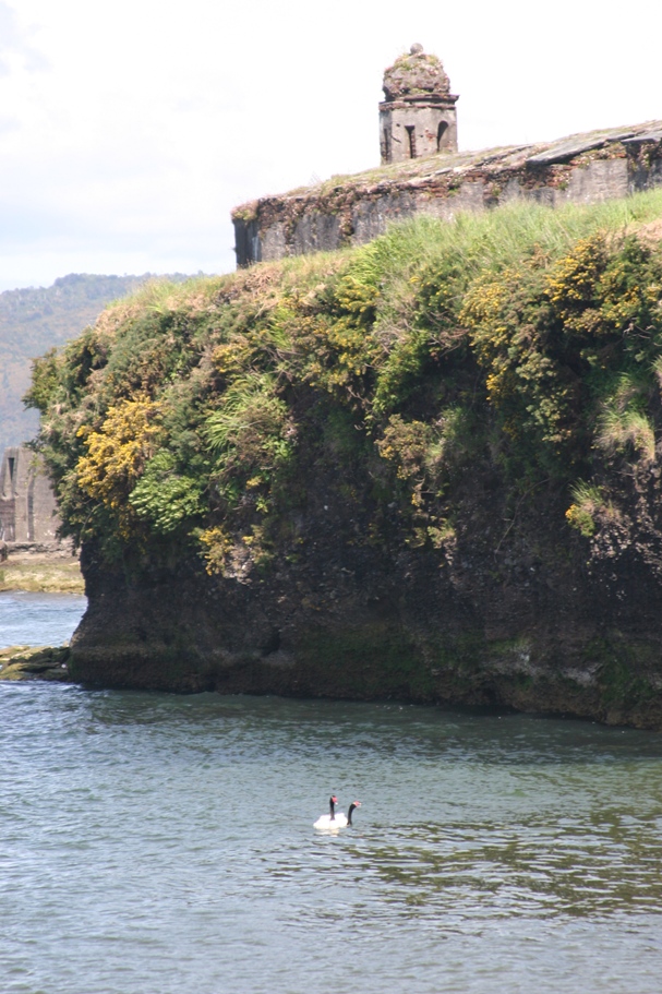
Most of the land in the vicinity of Valdivia dropped 3 meters, putting a lot of former fields farms under water. They have since turned into expansive wetlands and a haven for water fowl,
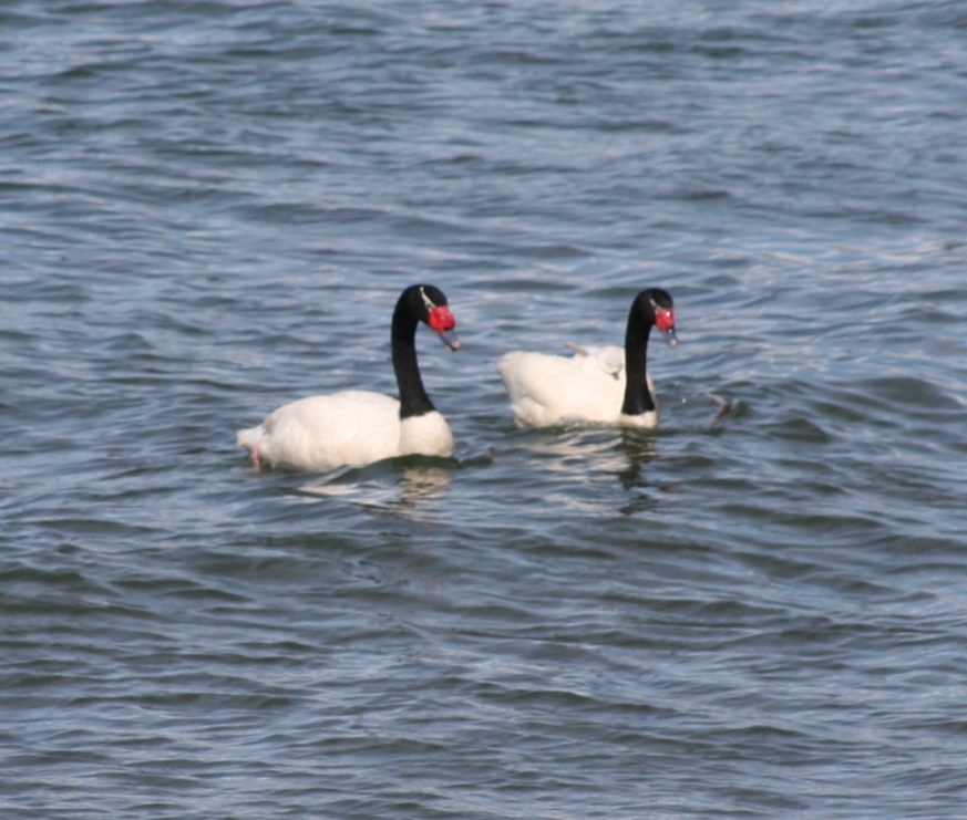
like these Black-necked swans.
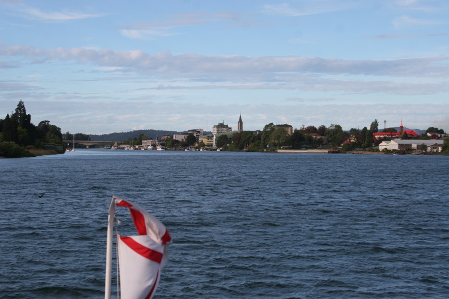
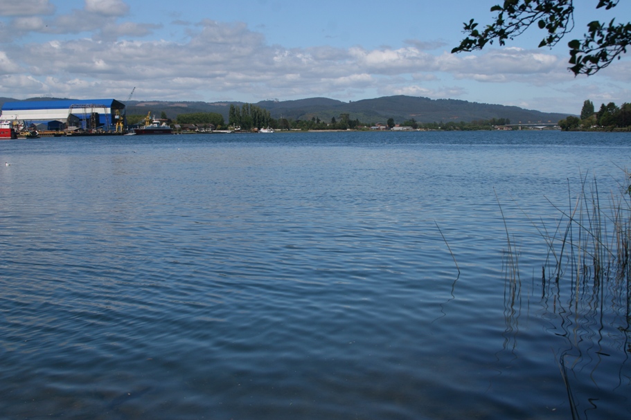
Valdivia skyline from our boat.
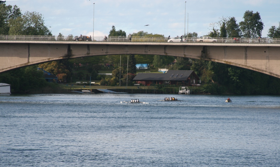
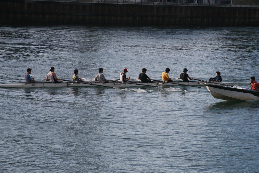
Rowers from the Universidad Austral on the Rio Validivia.
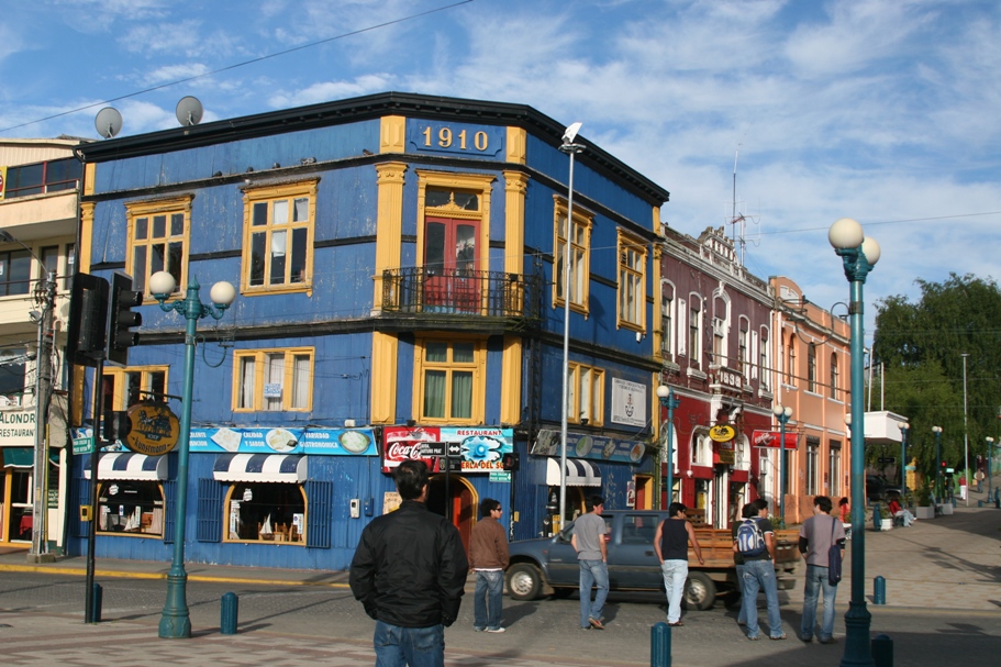
Valdivia City near the Mercado Fluvial
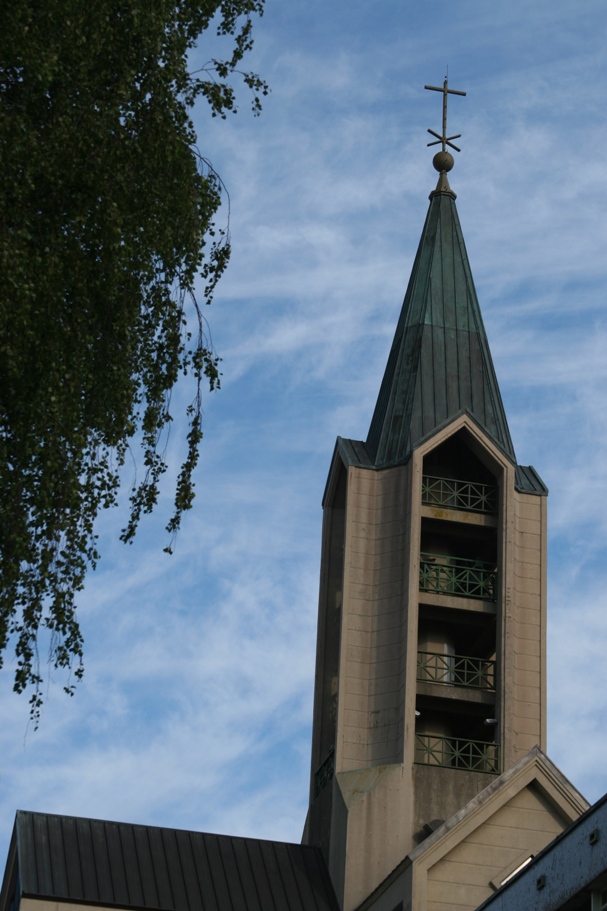
The new cathedral - built after the devastating earthquake of 1960. The Pope himself brought the new cornerstone and inaugurated the construction.
Tomorrow we will leave Valdivia and go visit a small town with strong German heritage on the banks of Lago Llanquihue.